The Tel Aviv Light Rail (Hebrew: הרכבת הקלה בתל אביב), also known as Dankal (Hebrew: דנקל) is a mass transit system for the Tel Aviv metropolitan area in central Israel. The system will include different modes of mass transit, including rapid transit (metro), light rail transit (LRT), and bus rapid transit (BRT). Overseen by the government agency NTA, the project will complement the intercity and suburban rail network operated by Israel Railways.
History
The first proposals for a tramway in the area were made by the Lebanese engineer George Franjieh in November 1892, about nine weeks after the inauguration of the Jaffa–Jerusalem railway. The plan called for a main line between southern and northeastern Jaffa, with spurs to the harbor and the eastern orchards. The plan was considered uneconomical and was shelved. A later plan called for a light railway from Jaffa to the nearby settlements of Rishon LeZion, Petah Tikvah, and Wilhelma.
A Decauville light railway was built in Jaffa and Tel Aviv in World War I, connecting the port with the Yarkon River. It was used for about a decade after the war and dismantled at a later date.
A subway system was first planned in the mid-1960s, but a station at the Shalom Meir Tower was all that was completed of the project with no rails laid.
The Switch to Light Rail
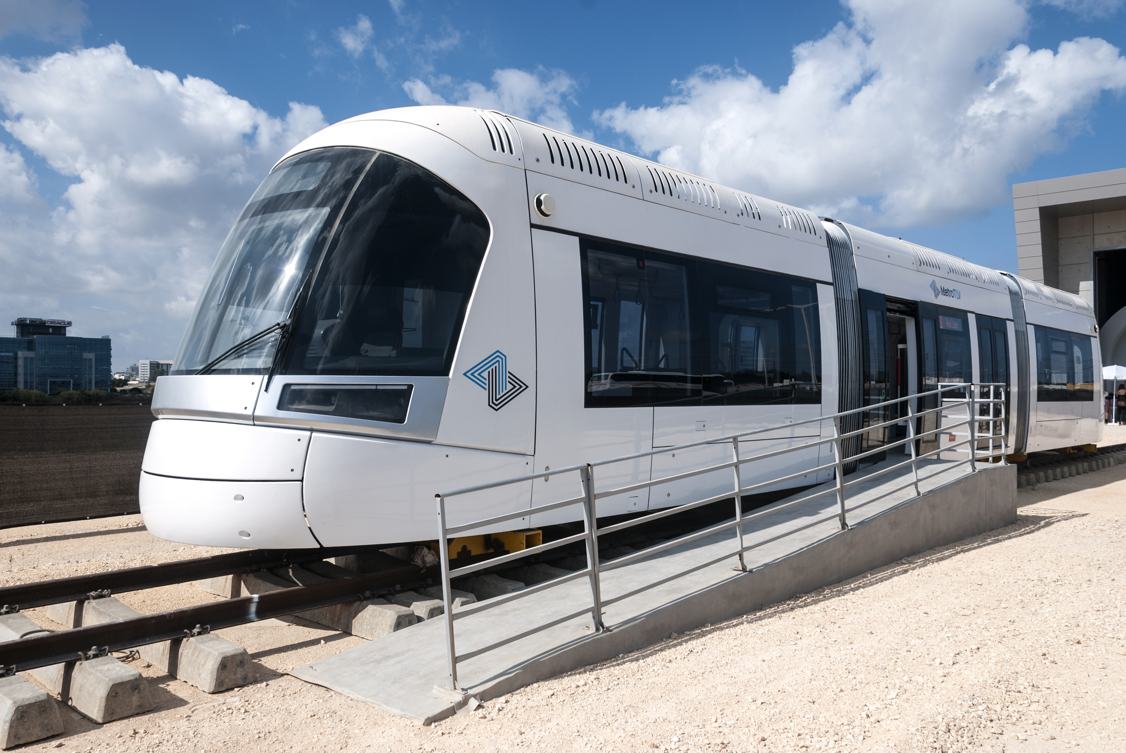
In 2000, the plan for a subway was changed to one for light rail. After the first Red Line spanning 15 mi. (24 km.) was approved, excavation began in late 2009, with the construction of the underground stations starting in August 2015. After years of delays, the Red Line became operational on August 18, 2023. It has 34 stations, including 10 underground stops, and runs from Bat Yam through Jaffa, Tel Aviv, Bnei Brak, and Ramat Gan to Petah Tikvah.
The preparations for the construction of the Green Line started on February 5, 2017. It is planned to span 24 mi. (39 km.), with 2.8 mi. (4.5 km.) underground. It will have 62 stops and run from west of Rishon LeZion northward through Holon through central Tel Aviv, splitting into one branch to Herzliya in the north and a second to the Ramat HaHayal neighborhood in northeast Tel Aviv.
Infrastructure works for the Purple Line began in December 2018. This completely overland line will cover 17 mi. (27 km.) with 43 stops. It will connect Sheba Hospital through Giv’at Shmuel and Kiryat Ono and will link Arlozorov in Tel Aviv to Yehud and Or Yehuda through Ramat Gan.
When complete, the light rail will cover a network of 53 mi. (85 km.).
| Line | Length | No. of stations | Status | Opening | Passenger forecast | Primary municipalities | Terminals |
|---|---|---|---|---|---|---|---|
| (12 km (7.5 mi) underground) | | | | 70,000,000 annually | |
| |
| Green Line | (4.5 km (2.8 mi) underground) | | | | 65,000,000 annually | |
|
| Purple Line | | | | | 60,000,000 annually | |
|
Sources: “Tel Aviv Light Rail,” Wikipedia.
“Tel Aviv Light Rail opens to the public,” Israel Hayom, (August 18, 2023).
Photo: Ynhockey, CC BY-SA 4.0 via Wikimedia Commons.