Overview
Ever wanted to literally walk through history?
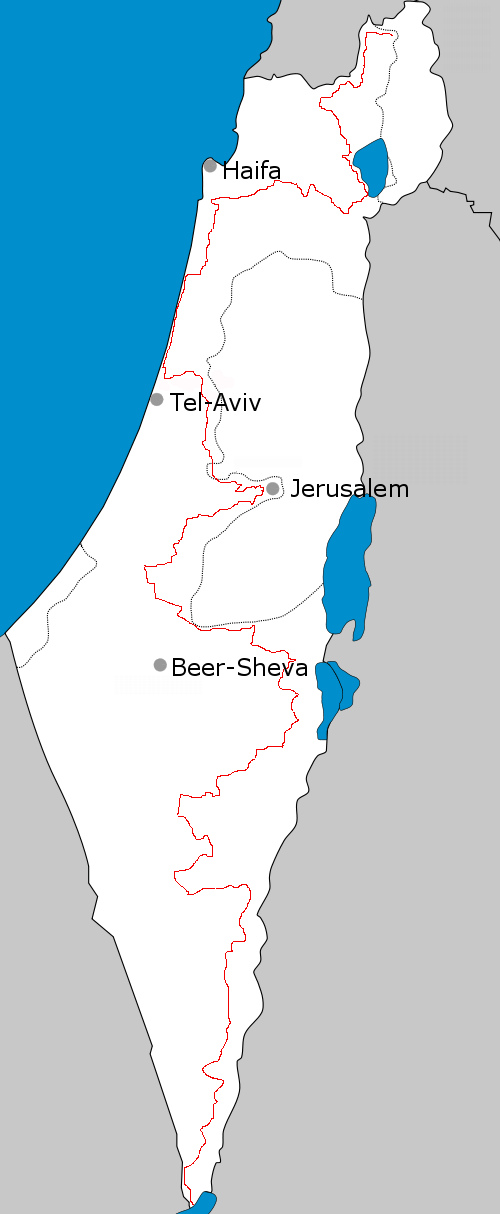
The Israel National Trail (INT), running approximately 620 miles (1000 kilometers) from the Gulf of Eilat in the south to Har Dan in the north, gives you this opportunity. And more.
Because of the way the INT traverses Israel's unique physical, ethnic, and religious landscape, it has gained a reputation as one of the world's great long-distance treks. In fact, in 2012, the National Geographic magazine named the INT as one of the "World's Best Hike" for its ability to " delve into the grand scale of biblical landscapes as well as the everyday lives of modern Israelis."
Starting at Har Dan on the Israel-Lebanon border at the northern end of the Galilee, the Trail includes 11 sections the wind their way through Israel to the Red Sea and the coastal oasis town of Eilat at the southern tip of the Negev Desert.
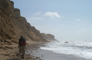
From Har Dan, hikers pass the Naftali Ridge and Ramim Cliffs overlooking the Hula Valley, where some of the very first settlers to Israel began establishing villages. Next comes the Yesha Fortress, the Kadesh Stream, Mount Meron near the ancient city of Tzefat, and then to the Shema ruins. At this point hikers find themselves in the foothills of the Lower Galilee and will pass Mount Tabor and the Tzippori Stream before heading to the Carmel Region and the Nachash Stream.
The Coastal Plain
After this part, the Israel National Trail continues through the Sharon plain, Gush Dan, and Shephelah areas during which hikers can take a relaxing break by veering off to any of a number of coastal cities such as Tel Aviv and Jaffa.
From here, the Shayarot Range in the Judean Mountains in next, a hike which offers spectacular views down to the Coastal Plain and up into the higher Judean Mountains of the West Bank and Jordan. Hundreds of kilometers of mountain dirt tracks, walking routes, caves, and an abundance of flowers in the spring dot this part of the trial. This part of the trail also passes through the"Burma Road", where hikers can climb to the military posts overlooking Highway 1, the Jerusalem-Tel Aviv road, used by Palmach soldiers in their battles to free Jerusalem during the Israeli War of Independence. At this point the route has a two day site-trip to Jerusalem via the Jerusalem Trail.
Hikers continue past Israel's capital via that Yatir ruins and Dragot quarry and then into the vast expanse of the Negev Desert where the trail winds through the Mamshit stream, Machtesh Ramon, Ovda Valley, and then finally past the Shchoret Stream and into Eilat and the Red Sea.