Maps of Pre-1948 Palestine: The Peutinger Map
(1507)
Maps of Pre-1948 Palestine: Pre-1948 Palestine Maps: Table of Contents
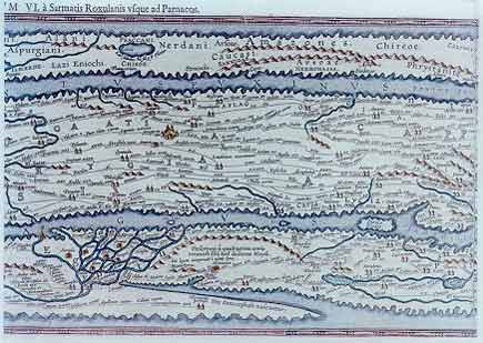
The Peutinger Map was discovered in Germany in 1507 as a long and narrow parchment scroll. It is clear that the map was made in the 12th or 13th century as an apparently exact copy of an ancient road map, now lost, which portrayed the Roman Empire in the fourth century, with paved roads clearly visible. Jerusalem is prominently marked "Formerly called Hierusalem, [now] Helya capitolina", with the Mount of Olives nearby.
 |
Sources: Israeli Foreign Ministry
Download our mobile app for on-the-go access to the Jewish Virtual Library